
EBOOK
Achieving reliable GNSS performance for autonomous UAS navigation

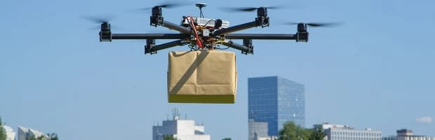
Unmanned Aircraft Systems (UAS), also known as drones, hold significant promise for various applications, including assisting first responders, delivering packages, and inspecting infrastructure. To unlock the full potential of UAS, they must be able to navigate safely and accurately beyond visual line-of-sight (BVLOS) of human operators. GNSS, such as GPS, GLONASS, Galileo, and BeiDou, is a critical technology used for drone navigation. However, GNSS signals can be intermittently obscured by buildings and landscape features, leading to patches of degraded reception that can affect navigation performance.
